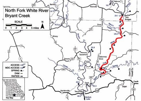
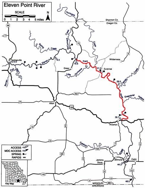
Buck Hollow to Alley Spring
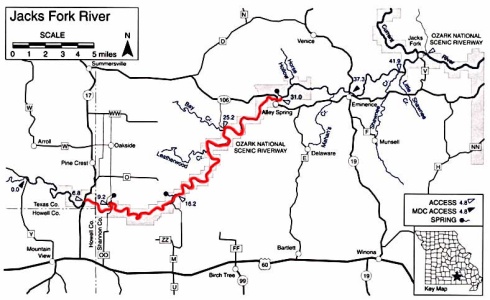
Jacks Fork River
Shannon County, Missouri
Saturday, June 24 & Sunday, June 25, 2017
24 Miles
Temperature: Saturday 80˚/59˚, Sunday 86˚/56˚
Wind: Saturday NNW at 6mph, Sunday NW at 4mph
Water Level: Saturday 2.9, Sunday 2.8 at Eminence gage
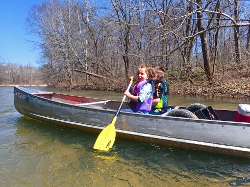
We’ve done quite a few overnight trips on the Jacks Fork, but this one was special because it was the first overnight float trip for my niece (Celia) and nephew (Silas). They’ve been floating with us for a couple years now, but never camped out overnight on the gravel bar. We decided on the Jacks Fork because we had not been there yet this year, it’s a nice trip and my sister had not been floating down there since we were kids. The Jacks Fork and Current River area were our go-to family vacation spot for a number of years.
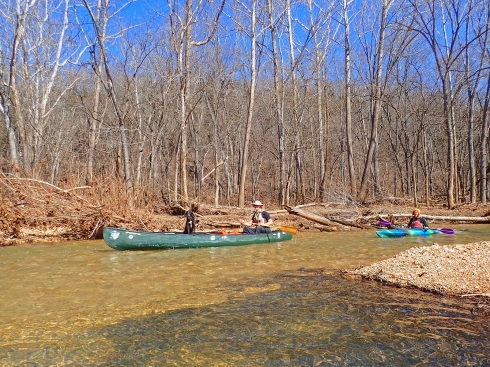
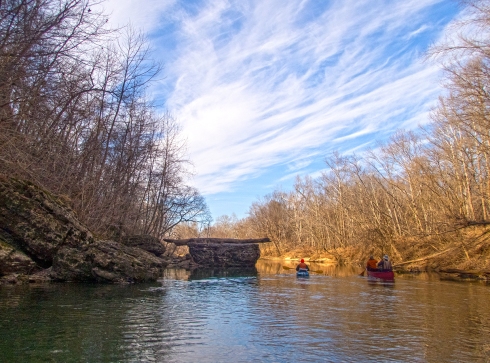
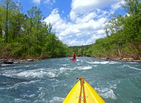
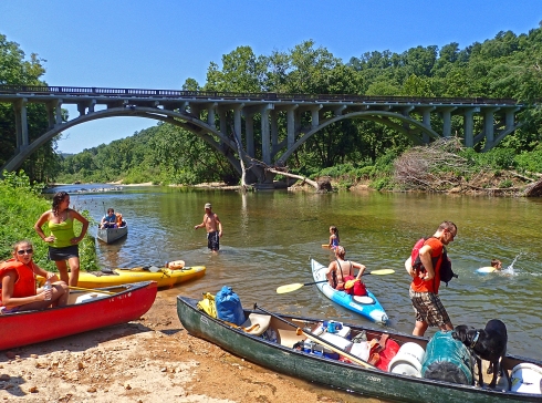
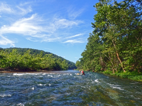
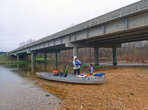
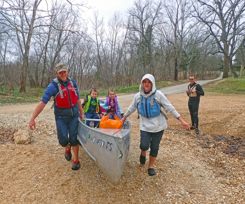
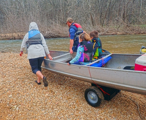
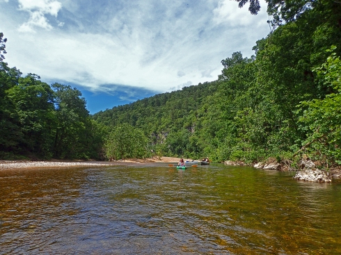
We paid Harvey’s Canoe Rental to run a car shuttle for us and drove up to Buck Hollow to unload all our gear. It’s a little bit of a walk from the unloading area to the riverside when you have a bunch of gear, but Silas helped carry the lighter stuff while the dogs ran around and Celia spent her time getting in trouble for throwing a fit because she had to wear sunscreen. We finally had everything situated and started paddling around 10:30am.
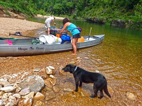
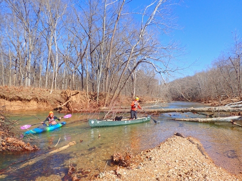
Ocoee oversees loading the boats

Emily and her trusty steed
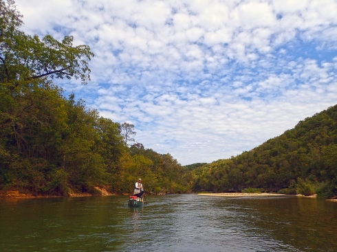
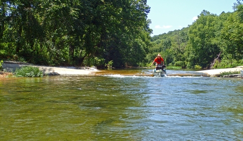
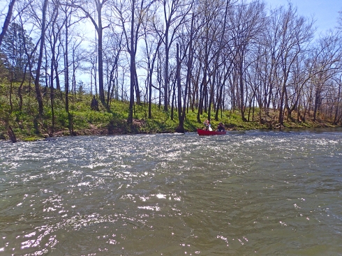
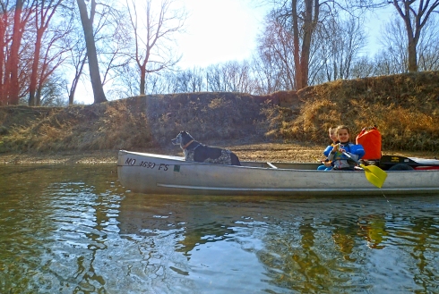
Marge the Barge scrapes her way downstream
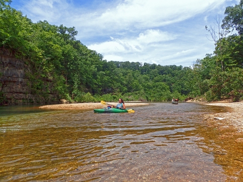
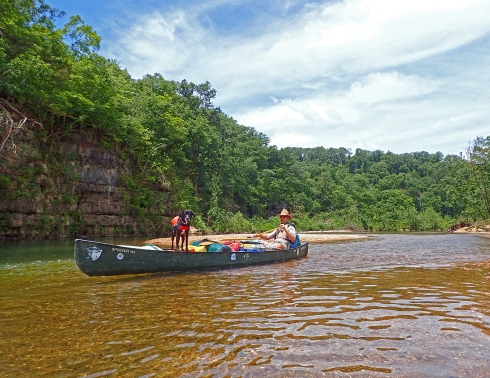
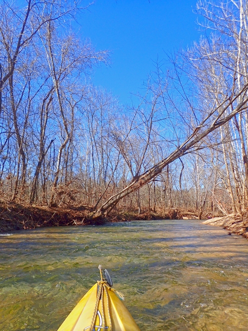
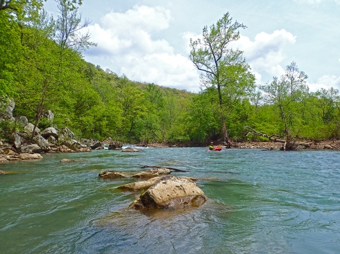
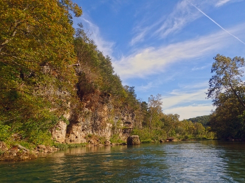
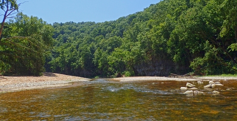
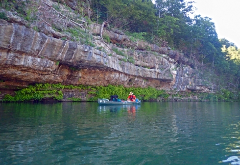
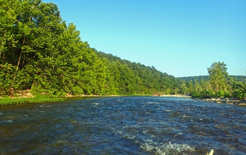
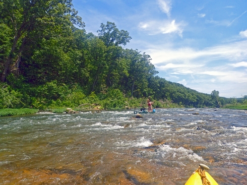
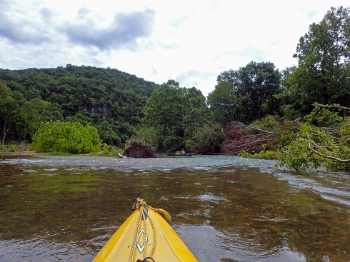
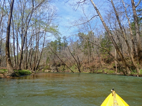
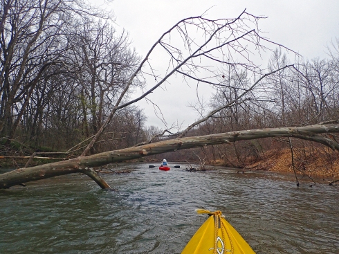
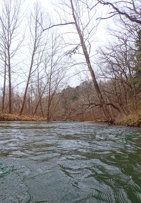
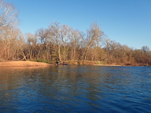
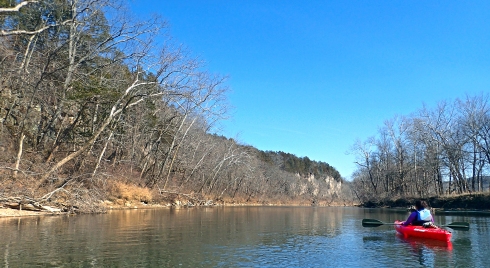
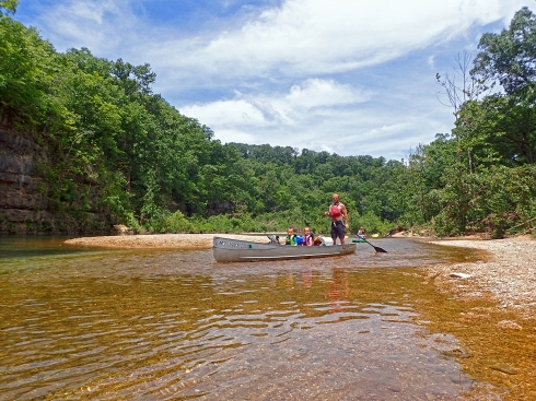
We usually stick to doing the upper portions of the Jacks Fork in the spring. There are fewer freshwater springs on the upper section, so it needs rainfall to be floatable. This late in the year it was just barely floatable. The kayaks made it through without scraping, but the fully loaded canoes had a bit more trouble. Especially Marge the Barge as she’s a heavy lady to begin with! This was probably the last weekend it was enjoyable for this summer unless we get a good amount of rainfall.
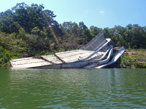
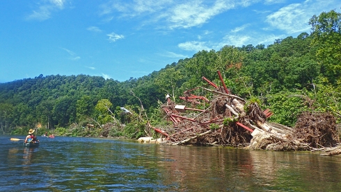
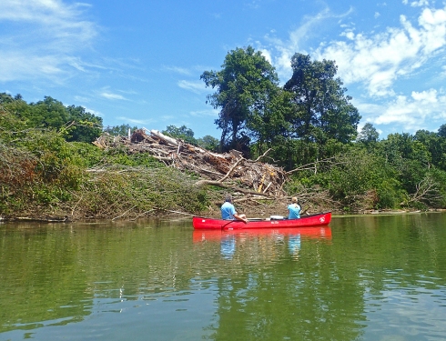
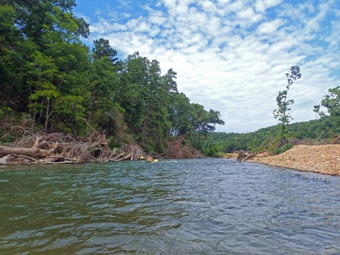
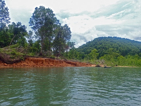
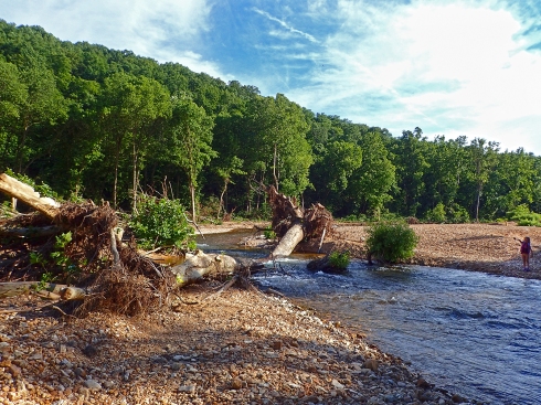
There was a significant flood back in late April/early May of this year that hit the Ozark Riverways pretty hard. It was one of those 500 year floods that happen every couple years or so. A lot of outfitters were wiped out and had to rebuild and the vegetation and riverbanks took quite a beating. We saw a few new scars from landslides, lots of rocks that had been displaced, gravel bars and banks scoured or relocated, and ripped up trees everywhere. There were some trees that had been stripped of all their branches, just a tall pole with a few new leaves starting to grow from the trunk.
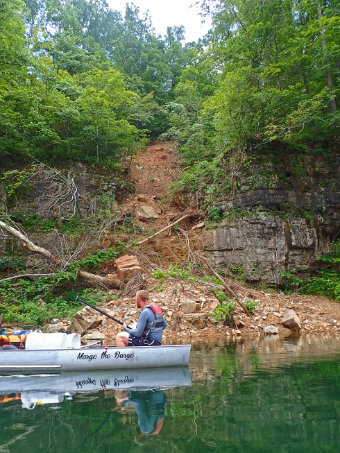
A fresh new landslide

A tree stripped of branches

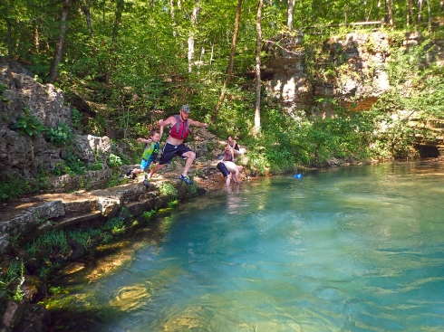
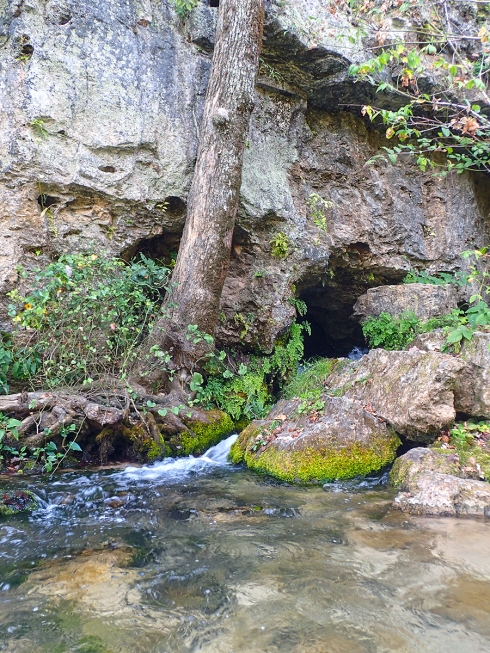
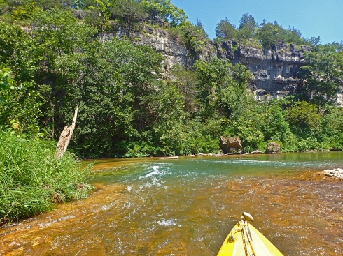
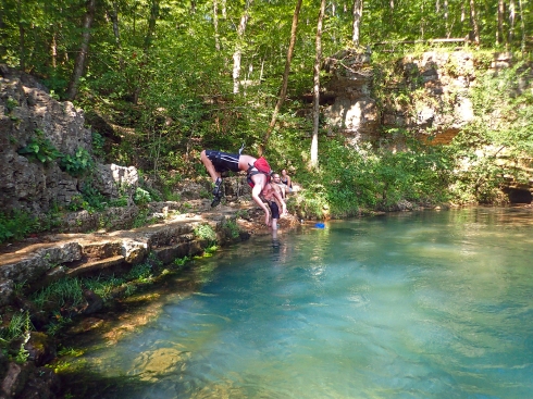
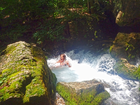
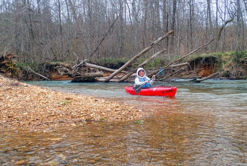
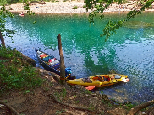
We stopped at Blue Spring for lunch and did some swimming where the spring water enters the river. Blue Spring had not changed much from the flooding, but Jam Up Cave was a bit different. Many of the large rocks and a couple boulders had been washed downstream from the entrance. It’s still jammed up, but not as much as it used to be. We also passed a river hazard warning sign, something I’ve never seen before on the river. There was a big tree trunk across the narrow river channel. I guess it was too big or too submerged to cut out. We walked our boats around it or pushed them over the log without any incident.

Blue Spring
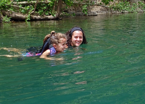
Celia & Emily swimming in the spring water

Two dorks

Celia won

Flood damage
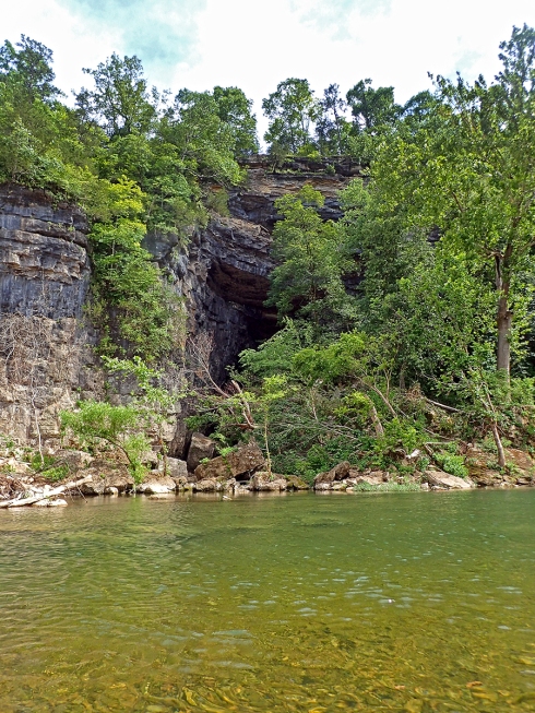
Jam Up Cave

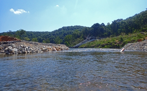
River Hazard Sign
Eh, that’s not much of a hazard
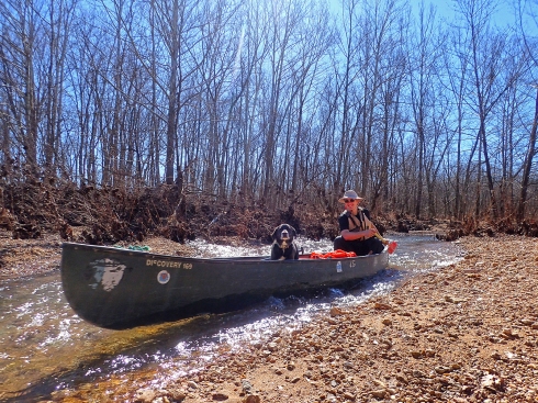
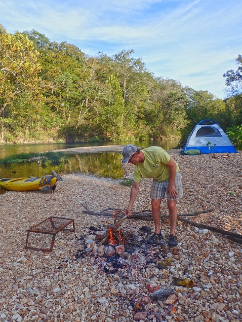
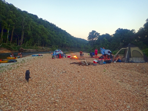
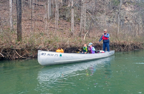
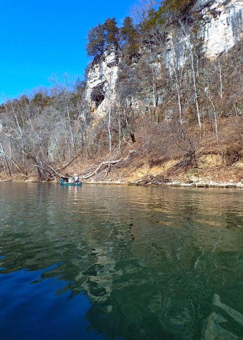
By late afternoon, it was time to find a campsite. Henry was getting pretty tired paddling and scraping that heavy aluminum canoe down the river! With all the flood damage there was plenty of firewood available, but it took a while to find the perfect gravel bar that wasn’t full of large rocks. I paddled ahead and scouted several options. I know from experience that there is always a better site just around the bend! However, this time I found the best one, a large gravel bar across from a bluff with some sand to sleep on. We set up our camp and spent some time fishing while our fire got going. Celia and Silas really wanted to fish, but they have no idea how to cast a pole. DW let them reel his in a few times. He caught a small bluegill and let Silas reel it in. Then he cast the little fish out again so Celia could “catch” it too.
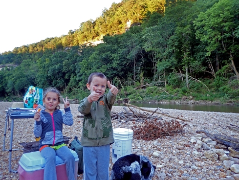
Celia & Silas at camp
Celia being silly

Henry, Silas, Emily & Celia
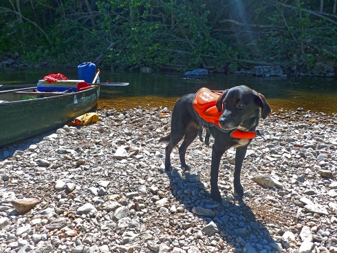
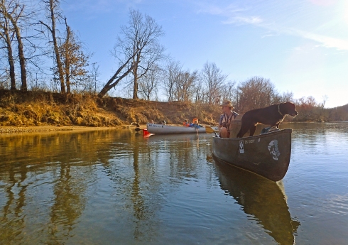
Safety dog always wears his PFD
After a good night’s sleep we woke up around 8:30am and started packing up while our breakfast burritos warmed on the fire. The kids went swimming within 10 minutes of being awake. One thing I have learned from this trip is you have to do shorter overnight trips with little kids. They are slow and want to stop and swim every 5 minutes!


Ocoee is so excited to be floating
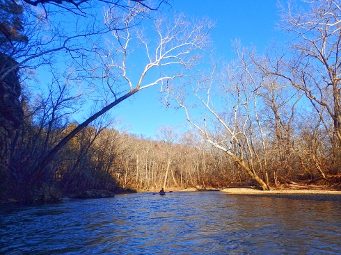
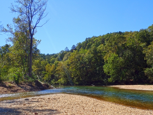
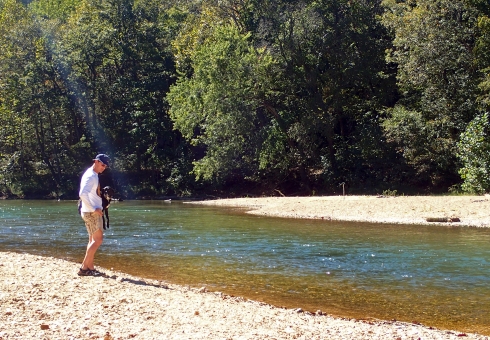
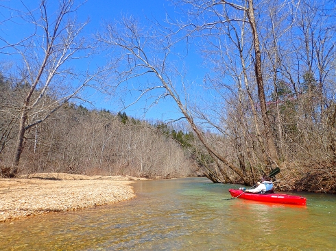
The next day was pleasantly uneventful. We did a little fishing and a lot of swimming. DW saw a snake catching a small bass which was pretty cool. The snake hauled the fish out of the river and drug it up on the bank as it flopped around violently. Never seen that before! We also found two kayak paddles; both the cheap kind, but hey, free paddles! The river was still pretty low in spots all the way to the end. Once Alley Spring comes in the river gets more consistent water levels. We arrived at Alley around 6pm, which is kinda late for a Sunday, but those kids are more into swimming than paddling! The gravel bar at Alley has changed quite a bit. It is not as big as it used to be. The campground was pretty rough too. All the bathrooms were closed and there were only port-a-potties available. The park service has put in a lot of work to get things back to normal, but I imagine repairing all those bathrooms is a large job.

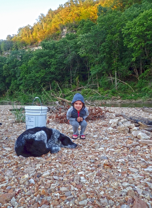
Celia, Silas and their dog Lucas


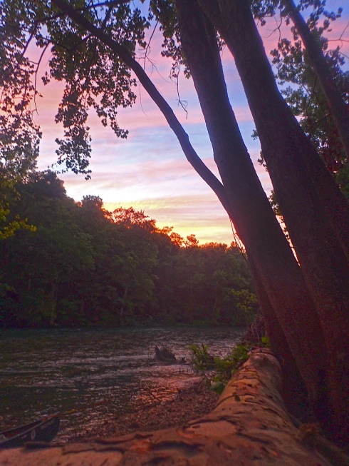
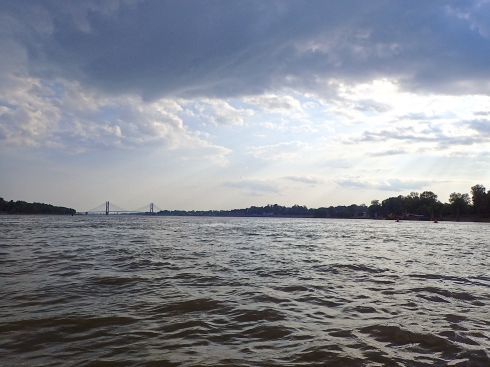
Twilight on the river
We had an excellent time on this trip. DW and I enjoyed taking our niece and nephew on their first overnight float trip and the kids enjoyed it too. I asked them if they had fun and if they wanted to do it again. Silas gave an enthusiastic “Yes!” and Celia said “Eh, maybe.” She’s a snarky brat like me!
Bonus Prize: 2 kayak paddles
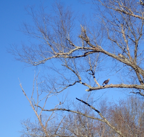
Critter Count: Deer, Hawks, Herons, Turtles, 1 Snake
Tags: alley spring, buck hollow, jacks fork, Kayaking, missouri, overnight kayak camping