The Prongs to Alley Spring
Jacks Fork River
Texas and Shannon Counties, Missouri
Saturday, June 8 & Sunday, June 9
31 Miles
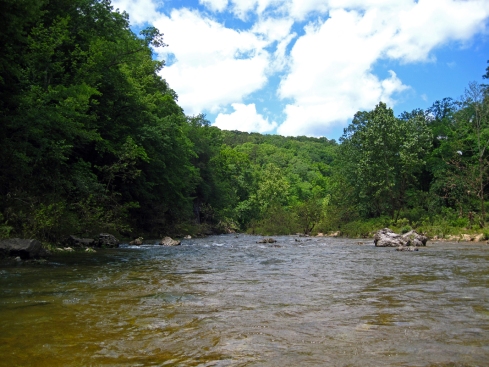
The Jacks Fork is one of Missouri’s most beautiful rivers. Though it is only 44 miles long it packs in some of the most scenic bluffs and clearest water in the state. Most of the Jacks Fork above Bay Creek access is too shallow to float in the summer and fall, and it is often flooded in the spring. So it is a good idea to catch it when you can. Since we have been blessed with ample rain this year we were able to float the uppermost section this June, something that was unthinkable during last summer’s drought. We’ve never floated from the South Prong access before (mile marker 0.0). It was well worth the extra half hour of driving. The upper Jacks Fork from The Prongs to Buck Hollow is a small, twisty river that varies between deep, crystal clear pools and fast, boulder-strewn runs. It was a lot of fun and would be worth doing again with more time and a fishing pole!
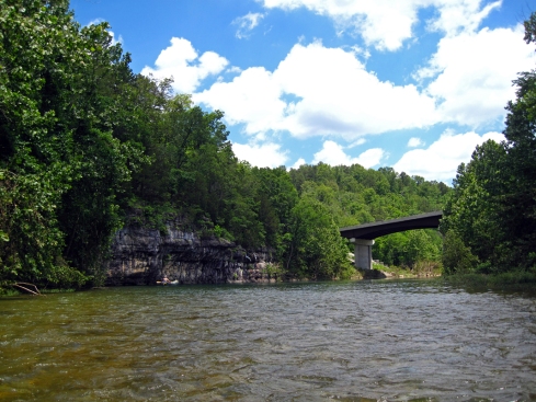
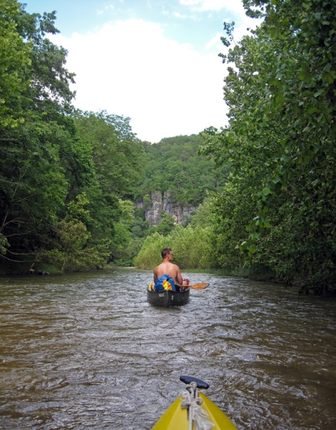
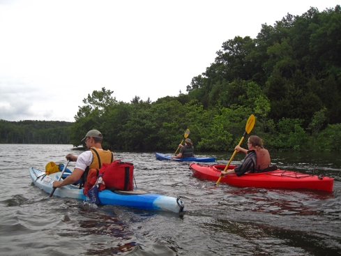
We woke up very early on Saturday morning and drove the 2.5 hours from our house to Harvey’s Canoe Rental at Alley Spring in Eminence, where we set up a car shuttle (we leave our car at the put-in and they drive it to our take-out). Car shuttle is my preferred method of shuttle, since we only have to unload our gear once and we can move at our own pace. Unfortunately there aren’t many outfitters who do this anymore (something about insurance I guess). We then drove our car to The Prongs access, unloaded our gear and packed everything into the “gear barge,” our trusty Old Town canoe. DW manned the barge while I took my kayak, as usual. There were several other couples loading their canoes for overnight floats, though no one was going as far as us. Right at the access there is a small ledge of rocks that was a little difficult to float over, then around the next bend is a unique bridge that is easily floated under. Around the next bend was our only tricky obstacle, a downed tree that spanned the river. DW wriggled the canoe through it, but it took some time. Since the portage was only about an 8 foot walk on a gravel bar, I took the easy route and carried my kayak around it.
We floated through an area that looked like it had seen tornado damage a few years ago. There were many twisted, broken trees on the hillside. In between the deep pools and enticing fishing holes the river dropped elevation in rocky, rippled sections that were a lot of fun to navigate. It reminded me a bit of the Buffalo River, lots of small boulders and splashy waves. I didn’t find it difficult, but an inexperienced canoeist might have a bit of trouble avoiding all the rocks. I imagine it is even more fun with higher water. When I pulled up to a gravel bar for the first swim of the day, there was the cutest baby turtle sunning on a rock. It was slightly bigger than a quarter, and it stayed put for a few minutes while I snapped a photo before it comically flopped into the shallow water. The river was cold, but not too cold once you submerged the first time. The day was bright and warm, a perfect day for floating.
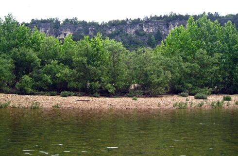
We passed quite a few very nice gravel bars and small painted bluffs. Soon we paddled under the Hwy. 17 bridge at Buck Hollow access and our unexplored portion of the Jacks Fork was behind us. It has been 6 or 7 years since we floated from the Buck Hollow access and we only did it once, so this section was almost new to us too. Down from Buck Hollow are a couple of medium size springs and Jam Up cave, a large cave opening that is easily missed if you aren’t looking for it.
Our first stop was Blue Spring, which flowed out from a small cave opening hidden behind a couple of boulders. The people who named Missouri’s springs sure weren’t very creative with their naming. There are 3 Blue Springs I can think of off-hand (this one on the Jacks, one on the Current and one on the Eleven Point) and there may be more. We parked our boats and climbed around the boulders to the spring on the other side. The water was a little cloudy, but definitely blue in color. As we pulled away DW noticed a snake camouflaged in the debris near the spring. Three more miles downriver we came to Jam Up cave and stopped there to poke around.
Jam Up cave is easily missed if you aren’t looking for it. It is a huge cave opening, but the view is completely blocked from the river with large boulders. The climb into the cave is relatively short, but difficult. You have to either climb over large rocks or swim through freezing spring water to get inside. If you make it inside without twisting an ankle or busting a knee, you will come to a large spring fed pool with a small waterfall in the back. You can just barely see the waterfall as the light here is greatly diminished by the boulders in the entrance. On our way out of the cave we decided to swim through the water rather than climb back over the rocks. It was shockingly cold and too deep to stand in spots. Once we left the cave the river water felt like a warm bath in comparison.
Four miles down from Jam Up cave is Rhymers access. There were lots of people swimming and camping out on the gravel bar near the access. A mile down from there on the left side of the river is Bunker Hill, a beautiful resort that is exclusively for Missouri’s teachers, their families and friends. If you are a teacher in Missouri, or know one, it is well worth checking out.
A few miles downstream we caught up with a group from SLAG that were floating from Buck Hollow to Alley Spring. We knew the group was going to be on the river ahead of us and figured if we saw them we might hang out or camp with them for the night. The majority of the group was well ahead of the people we caught up with. They invited us to camp with them, wherever they might end up. It was getting close to dusk and we were nearing Bay Creek access, which is 6 miles above Alley Spring. We decided that if we didn’t see the group before Bay Creek we would have to stop for the night so we would have some distance left to paddle the next day. We did catch them setting up camp on a large gravel bar just before Bay Creek. It was nice to see some people we knew, meet new people and have a nice fire we didn’t have to build ourselves. DW and I had paddled 25 miles in one day. I was a little tired, but not sore. We probably could have paddled all the way to Alley Spring if we wanted to! It would definitely be feasible for us to do the whole river in two days if we don’t take too many breaks or spend time fishing.
The next morning we broke camp under an overcast sky and were on the river around 9am. There was rain in the forecast, but with only 6 miles to go we didn’t want to get done too quickly. We fished a bit and didn’t paddle much. DW and I both caught one nice sized small mouth bass and plenty of tiny sun perch. I could see the perch chasing my lure and I would yell at them to go away, since I didn’t want to bother with detaching such a tiny fish! Most of the didn’t listen and hooked themselves anyway. As we rounded the last stretch of the river, dark storm clouds approached from the west. It looked like that rain was going to catch up to us after all. We started to paddle, but it turned out Alley Spring was just around the corner anyway. We reached our take out around 12:30 and quickly packed up our gear before the rain. As we pulled out of the parking area raindrops spattered on our windshield.
If you’ve never been to Alley Spring it is a must-see. It is the most well-known attraction on the Jacks Fork with a beautiful, large spring and an old red mill nearby. It makes for gorgeous pictures in any season and is an excellent place to picnic. We really enjoyed this trip to the Jacks Fork and I am looking forward to spending more time on The Prongs section and maybe catching some nice fish in those big blue pools.
Critter Count: Blue Herons, Kingfishers, Turtles, Snake
Bonus Prize: 1 canoe paddle


