Archive | October, 2011

Float #28: Niangua River

27 Oct

Bennett Spring to Barclay

Niangua River
Dallas & Laclede Counties, Missouri
Friday, October 14
6.5 Miles

October is a conflicting month for float trips. The weather is usually gorgeous, with perfect temperatures and little rain. The trees are in their full glory of warm fall colors. However, the small amount of rain mean streams are usually low and portages are more common. The daylight fades quickly and leads to shorter floats and earlier start times. The temperatures are comfortable, but not warm enough to get in the water. There is also the constant reminder that winter is coming and the end of floating season is quickly approaching.

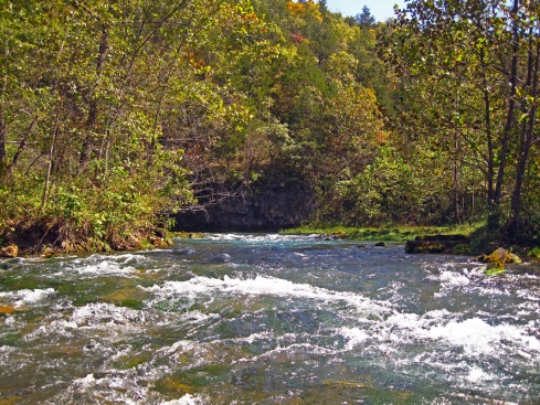
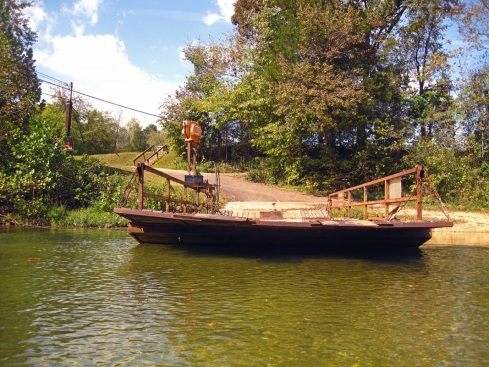
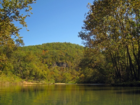
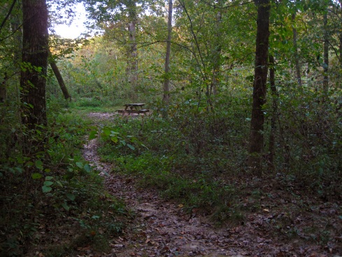
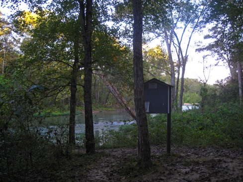
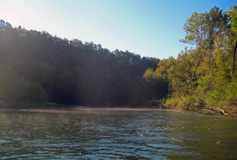
Since we tend to stay close to home during winter floats, its nice to branch out a bit during the fall to locations farther away. This time we chose the Niangua river in south-central Missouri. The Niangua is a popular trout fishing stream that flows into Lake of the Ozarks. Bennett Spring, one of Missouri’s four public trout parks is located on this river. We put in at Bennett Spring conservation access, which is across the highway from Bennett Spring State Park. DW and I have never floated the Niangua before and we aren’t very familiar with the area, so we asked the outfitter at NRO for advice on the best float in the area. They advised us to stick to conservation accesses or private campground accesses on rivers in this area. Apparently the locals and the law enforcement have nothing better to do than tow vehicles left at county road river accesses and they are always on the lookout for boaters trying to enjoy themselves. That left us with only one option close to our campground, a short float only 6 miles long from one conservation area to another. Short floats usually start late and greater quantities of beer are consumed to slow us down. Otherwise we would fly through a 6 miler in a couple hours and not really enjoy ourselves.

Niangua River, Bennett Spring Conservation Area

The boats line up at Bennett Spring conservation access

Niangua River

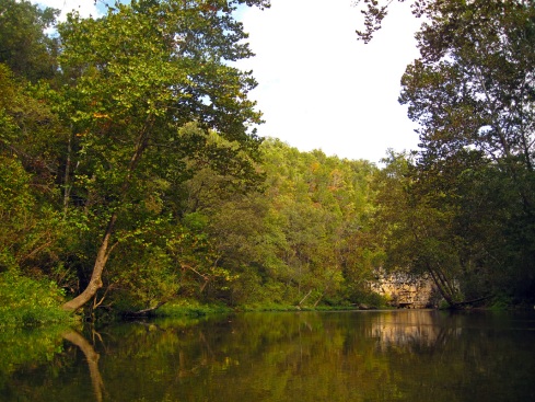
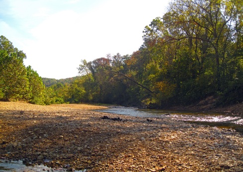
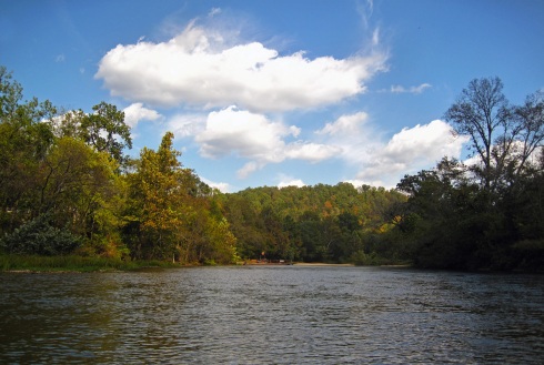
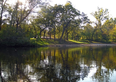
Looking downriver from the access

Niangua River

Niangua River

Charlie and DW converse on the river

This weekend was the fall portion of the biannual MVOR, a campground gathering of Midwestern cave enthusiasts. DW and I usually attend at least once a year and many of our boating friends come along. We find caver culture entertaining and are supportive of cave conservation efforts, but we usually only go spelunking in the winter. The other three seasons are for kayaking! We were camped at NRO (Niangua River Oasis) and the campground was halfway through this float, which provided a nice pit stop to waste time.

Niangua River

Niangua River

Niangua River

Charlie shows off his canoe standing skills

Niangua River

Alex makes a pit stop at NRO campground

When we arrived at camp on Thursday night we noticed our neighbor, Richard, had a canoe so he agreed to float with us the next day. Plus he had a truck that could haul multiple boats, so that’s always a bonus! One of the vendors at this MVOR was River Jim, a Perception kayak dealer. He brought along 50 close-out kayaks from last year. I think he sold 20 of them in the first day! After stopping at the campground on our float we all met back up at the river bank after a half hour or so. We kept waiting for Richard and he never showed up. DW went to look for him and found him carrying a brand new kayak down to the river. He had bought a new boat halfway through the trip! On how many float trips can you do that?

Niangua River

Richard tries out his new blue Perception kayak

Niangua River

Niangua River

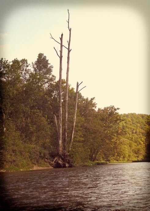
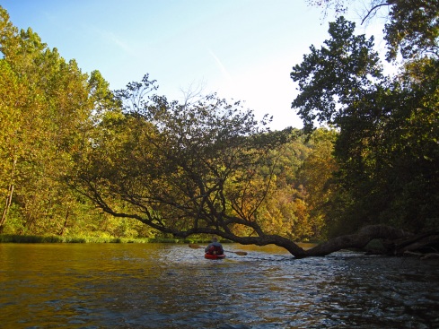
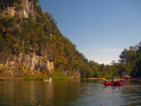
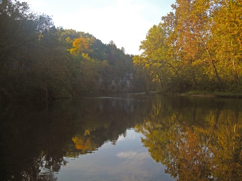
A gorgeous fall day on the river

Since Richard had never owned a kayak before we all excitedly gave him advice on how to maneuver the boat. I had a few beers in me and was feeling mischievous. I told him the first thing to learn was finding the edge of his boat (that magical line that divides leaning from flipping). Every kayak is different and the faster you learn it the less you flip. I showed him how to lean over until you feel the edge. He promptly flipped over and we all had a good laugh at his expense. He flipped a couple more times toward the end of the float, but I think he enjoyed it all the same.

As the sun began its descent we reached a high, glade covered hill that marked our takeout. The conservation access is on the left side of the river. We loaded up our gear and headed back to camp for dinner and drinks around the campfire. We enjoyed the rest of our weekend and I managed to leave on Sunday without purchasing a new kayak!

Niangua River

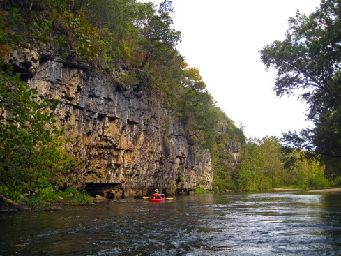
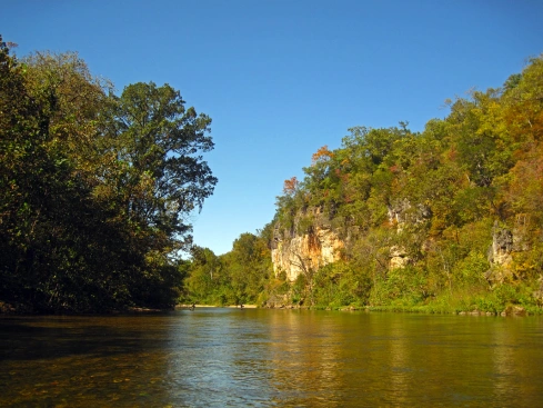
Ferns drape a small bluff

Niangua River

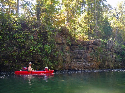
A tall glade right before the take out

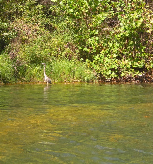
Critter Count: Turtles, Ducks, Blue Herons

Float #26 & 27: Eleven Point River

20 Oct

Cane Bluff to Myrtle

Eleven Point River
Oregon County, Missouri
Friday, September 30 – Saturday, October 1
39 Miles

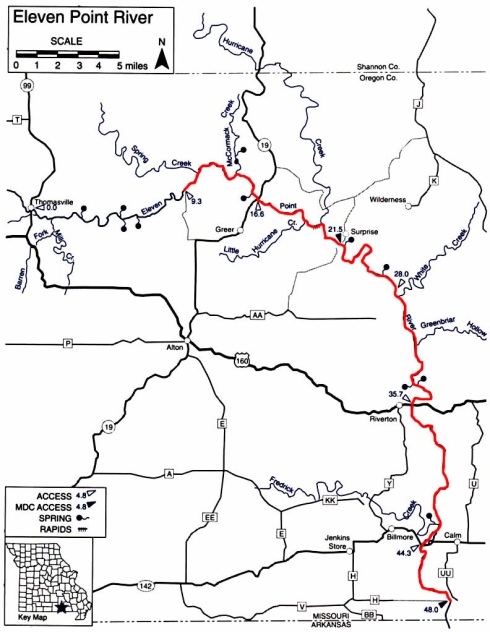
After leaving the Current River we arrived in Riverton at Hufstedler’s campground just before dark. DW booked a cabin for the night, which gave us a chance to take a shower and sleep in a real bed! We cooked a simple dinner of pork chops and sweet potatoes, played a couple rounds of Farkle (a dice game) and turned in rather early. The next morning we loaded the gear back up, and headed to Cane Bluff for two days of floating the Eleven Point. Loading the gear into the boats went much quicker this time and we were packed up and on the water before 10am. Cane Bluff is just about as high up on the Eleven Point as you can go in normal water. In high water you can go 9 miles up to Thomasville, but we’ve never had a chance to do that. I’ve heard there are several small springs above Cane Bluff which would be neat to explore in the future. Even with slightly higher water levels for autumn, Cane Bluff to Greer was a scraping section with many tight turns and tree obstructions. I had to portage my boat a few times. We had done Cane Bluff access last summer and it seems the spring floods of 2011 had put many more trees into the river on this section. The main reason to put in at Cane Bluff is because you can float past Greer Spring. If you put in at Greer access you are downstream from the spring and never get to see it.

cane bluff, eleven point river

Cane Bluff access

eleven point river, greer spring

Greer Spring

hwy 19 bridge, eleven point river

Hwy. 19 bridge

eleven point river

eleven point river

Above Turner Mill access

When we got to Greer we paddled up the into the spring, which is rather difficult as Greer has a powerful flow. It is a beautiful spring branch with very cold water and many plants growing on the bottom. It’s not feasible to paddle up very far as the branch is shallow and fast. Our hard work paid off though; we saw 3 river otters playing in the spring branch. They did acrobatics in the water and swam around in a blissful state. As soon as one spotted us it gave a warning whistle and they all quickly swam into their den on the bank. What lucky creatures to live in the most beautiful spring in the state, swimming all day without a care in the world!

We paddled back out to the river and continued on our journey. We stopped at Greer access for a quick break then floated through Mary Decker Shoals. The water wasn’t quite as high as it had been when we floated back in August, so a few more rocks were showing in the shoals. We came up on Turner Mill quickly, but did not stop. The temperature was pretty chilly and the water even colder so neither of us wanted to swim. After Turner we floated past a beaver chewing sticks on a log jam in the middle of the water. It didn’t seem to mind us at all, just stared at us as we passed and then continued with its work. We ate a quick but relaxing lunch on a scenic bend in the river. I could have stayed there all day, but we still had quite a few miles to cover.

eleven point river

Ducks take off downriver

eleven point river

DW dives off the jumping rock

eleven point river, greenbriar float camp

Greenbriar float camp

eleven point river, greenbriar float camp

Greenbriar float camp

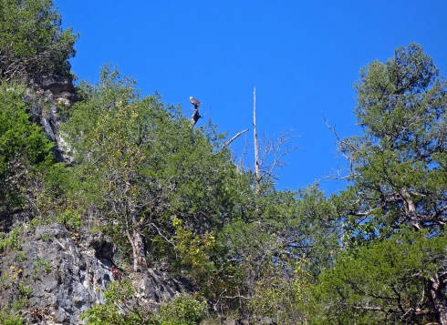
Between Turner and Whitten there is a jumping rock on the left side of the river. We always stop here so DW can dive off it. Even though it was still chilly he wanted to dive anyway. He made one jump and then was done; the water was too cold! The rest of the day was just a lot of paddling. My arms and shoulders were feeling fatigued by our third day on the water and DW was feeling a little tired as well. The miles seemed to go by slower as our arms became more tired. We saw two bald eagles in the afternoon. I heard one of them calling and I thought, “That sounds like an eagle, but I don’t see any,” then one flew over the hill into sight. We then spotted another one sitting in a tree.

Our halfway point was Greenbriar float camp, which we reached around 5pm. The Eleven Point has several float camps along the river because gravel bars can be sparse. We had never stayed at a float camp before so it was a new experience. Most of the float camps are standard National Forest Service backcountry campgrounds. Greenbriar had 5 or 6 camp sites, two with picnic tables and metal fire rings. The other sites had rock fire rings and no tables. The best part is the open-air pit toilet. It’s basically one step up from a hole in the ground. It is a three-sided wooden box about 5 feet high with a lidded pit toilet inside. Not much privacy or shelter from the elements. We had the whole campground to ourselves though, so we didn’t have to share it with anyone. We picked the site closest to the river, unloaded our boats, carried everything up to the site and set up camp. DW spent some time collecting firewood while I set up the tent. We made dinner and drank some beers around the fire before turning in for the night. Very early in the morning DW heard a deer walking into camp. It snorted a bunch and threw a loud hissy fit when it found humans occupying its favorite acorn buffet (acorns had been raining down on us all evening).

eleven point river

Early morning fog

eleven point river

eleven point river, boze mill

Boze mill spring branch

eleven point river

The next morning we broke camp and loaded the boats back up. Greenbriar is 3 miles up from Halls Bay Chute (the biggest rapid on the river). We’ve never gone through it on a cold morning before, so that was a little nerve-wracking. You can’t get through Halls Bay without getting wet. We put on our kayak skirts and splash jackets and hoped it went smoothly. Fortunately, neither of us tipped but DW put a lot of water in his boat and a big wave somehow went up my sleeve and soaked my entire left arm. Just before Riverton there is another rapid that has been getting bigger this past year. A series of rolling waves flows over an old tree stump. It doesn’t look nearly as exciting as Halls Bay, but it’s very splashy and will get you wet! DW put even more water in his boat on that one. We stopped at Riverton to buy ice from Hufstedlers and empty the boats of water and excess gear. They hadn’t shuttled our car to Myrtle yet so we used the opportunity to load all the overnight gear back into the car. This was our last day on the river, so why carry all that extra stuff?

eleven point river

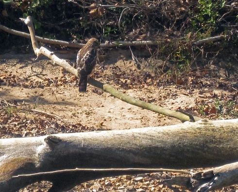
A falcon rests on the river bank

eleven point river

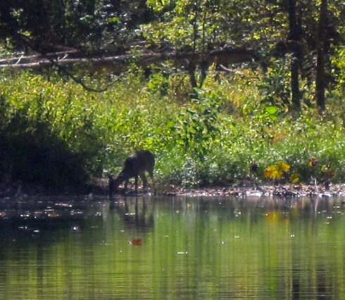
Deer drinking from the river

eleven point river

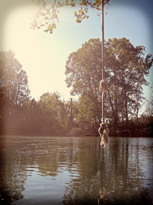
Last chance rope swing

With significantly lighter boats we paddled away from Riverton. We have only floated down from Riverton once a few years ago, so this section of the river is not as familiar to us. The water was quick and there were not as many large slow stretches as above Riverton. We saw a lot of wildlife on this stretch; a falcon resting on the bank, a deer drinking from the river and 3 more bald eagles high on a hill. We stopped for a leisurely lunch around 2pm on a deserted gravel bar. There were even less gravel bars down here than upriver. Even though it was Saturday we didn’t see a single person on this stretch of river!

eleven point river, blue spring

Blue Spring

eleven point river, blue spring

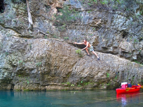
DW climbs the bluff at Blue Spring

eleven point river, blue spring

Blue Spring

There are two springs on this stretch, Thomasson Mill Spring and Blue Spring. Both are on the right side of the river. Thomasson Mill Spring is up Frederick Creek and Morgan Creek float camp is here also. We paddled up the creek a little bit, but it soon became too narrow and obstructed to continue. A mile down from there is Blue Spring. This spring branch is much shorter and easy to paddle into. There is a large bluff on the left with a narrow ledge you can jump from. DW took the opportunity to jump in the spring, despite the chilly temperatures. The boil is right next to the bluff and it’s pretty cool to paddle over it and look down into the depths of the spring. On the right there is another spring branch that is much smaller. We walked up it a bit but it became overgrown with plants, many of which have sharp leaves that will cut your ankles to shreds (a lesson we learned earlier in the trip on the Current). I’ve read that Blue Spring is connected to Thomasson Mill Spring and I bet the branch on the right leads there.

eleven point river, hwy. 142 bridge

"Goodbye Small Town" Hwy. 142 bridge

eleven point river, myrtle access

Myrtle access

After Blue Spring we passed Hwy. 142 access and bridge. On the side of the bridge someone had spray painted “Goodbye Small Town”. By far the tamest thing I have ever seen written on a bridge! We had never floated past Hwy. 142, so the last few miles of the river were new to us. Myrtle access is literally 1 river mile from the Arkansas border and the scenery really started to look like Arkansas too. The hills are taller and the river more populated with private homes. We finally reached our take out around 6pm. We were tired and glad to be done paddling, but also sad that the trip was over. Since our first overnight kayak adventure was such a success we plan to do it every year. We loaded everything up and headed to Van Buren for pizza and wings at Stray Dog BBQ (our favorite post-float eatery) and then drove home. On the drive we talked about our float plans for next year. We are hoping to branch out into new territory in the Central and Southwest Missouri Ozarks and hopefully hit some rivers in Arkansas as well. There is one more float in October and maybe a couple in November if the weather holds. The end of float season is such a downer, but there’s always next year!

Critter Count: Turtles, Ducks, Kingfishers, Blue Herons, 2 Falcons, 5 Bald Eagles, Osprey, 1 Deer, 1 Beaver, 3 River Otters

Foat #24 & 25: Current River

12 Oct

Cedar Grove to Two Rivers
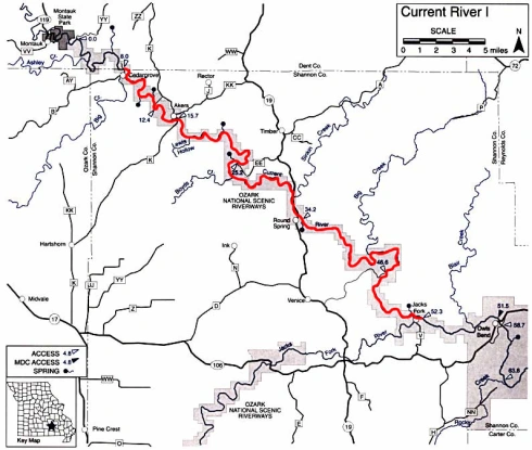
Current River
Shannon County, Missouri
Wednesday, September 28 – Thursday, September 29
44 Miles

In celebration of our wedding anniversary, DW and I completed our first overnight kayak trip. After all, what is more romantic than sleeping on a gravel bar? We had spent the previous weekend dragging out all our backpacking gear, which hadn’t been used in almost 6 years, sorting and packing it all into small dry bags. We packed the boats and did a test run on the Meramec near home. Everything seemed to fit well and the boats were well balanced, so we unpacked it all into the car and headed down to the Current River for our first overnight trip with kayaks. We hadn’t floated the Current in nearly 2 years. Back when we only had the canoe we had done a couple week-long trips down to Van Buren, so we are pretty familiar with the Current when it comes to overnight trips. We scheduled a car shuttle from the outfitter at Two Rivers. It was a little pricey, but the drive from Cedar Grove to the take out is over an hour long. Once we got to the access we repacked everything in the kayaks.

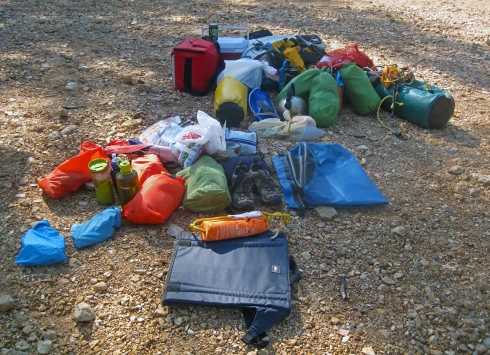
DW took the red Perception kayak instead of his regular blue kayak. His blue Perception Montour is very narrow and can’t hold much. The red Perception Prodigy is very wide and there is plenty of room in the front and back to stuff a bunch of gear. My Dagger Axis 10.5 turned out to be nearly perfect for overnight packing. There was plenty of room in the front to slide long things (extra paddle, camp seat and several small bags) and the sealed hull held a lot more than I thought it would. I did have to be careful to balance the front and back of the boat so both ends turned at the same rate. Otherwise the front would turn quickly while the back just sat there. We also bought a bunch more small fabric dry bags. The regular vinyl dry bags are hard to stuff into small spaces (too much friction against the plastic boat) and the fabric ones work well as long as you don’t submerge them in water for a long time.
current river, kayak overnight

All our gear before packing it in the boats
current river, cedar grove

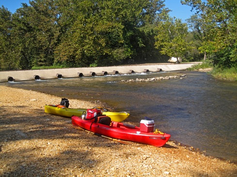
Packed boats ready to launch at Cedar Grove

The biggest hurdle to overnight kayaking is alcohol. You really can’t pack much beer on a kayak and drinking hard alcohol all day can turn into a kayak-flipping disaster. We decided two days at a time was feasible to carry beer. If we did more than two days we would carry hard alcohol and soda and just not drink as much and start drinking late in the day. Of course you could always decided to not drink at all, but that would eliminate most of the challenge!

We launched our boats from Cedar Grove at 11am on Wednesday morning. It was a little later than we wanted to start, but still feasible to make it to our halfway point, Pulltite Spring 18 miles downriver. When we tested our boats at home we did not have all the food & beer packed, so the kayaks were a little more heavy than we anticipated. So now we’re paddling heavy boats 18 miles in 7 hours. Better paddle hard!
current river

current river, medlock spring

Medlock Spring spills from the rocks
medlock spring, current river

Medlock Spring

Our first stop was at Medlock Spring. Medlock is a small spring that gushes from tiny opening in the rocks and tumbles down to the river. There is also a cave up above the spring opening, but we did not explore as we had 16 miles left to paddle.

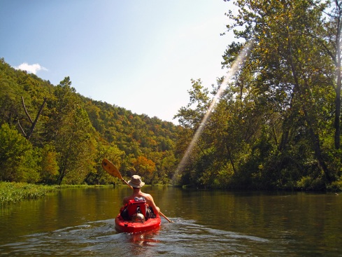
Two miles down from Medlock is Welch Spring. Welch Spring is in the top 10 of Missouri’s largest springs and has a powerful flow. The spring gushes out of a cave opening and runs into the river with such force that it overtakes the current of the stream. Welch spring was originally homesteaded in 1855 by Thomas Welch, who then ran a grist mill on the spring until the turn of the 20th century. Then it was bought by Dr. Diehl in 1913. Dr. Diehl built a hospital over an opening in the cave and planned to attract patients suffering from breathing ailments to the healing spring waters and cave vapors. His project never really took off as the roads in the Ozarks were little more than rough trails at the time and it was hard to attract patients to the middle of nowhere. The walls of the hospital building still stand at the edge of the spring. It’s neat to wander around the building and imagine what it would have been like to be treated for consumption in the middle of the wilderness in 1915.

current river, welch spring

Welch Spring

current river, welch spring

Welch Spring viewed from the river
current river

Three miles down from Welch is Akers Ferry. This is the last operational ferry in the Ozark National Scenic Riverways. There is also an access and camp store on the left side of the river. The ferry runs during daylight hours and is only $4 per vehicle to cross. It has been in operation for over 50 years but I have only seen it running once so I don’t think it gets too much traffic these days.
current river, akers ferry

Akers Ferry

current river, akers ferry

The river ferry at Akers

current river, blue heron

current river

current river

After Akers we stopped for a short lunch break and a swim. It was just barely warm enough to get in the water without being uncomfortable. This would be my first and last swim of the entire trip as the rest of the week was cooler and the water didn’t get any warmer! After lunch we continued our mad paddle to the halfway point. At one point we saw a river otter crossing the water with a large crawdad in its mouth. You don’t see too many otters on the river. They are pretty reclusive and don’t come out much around humans, so it’s really cool to see one on a quiet day.
current river

current river, cave spring

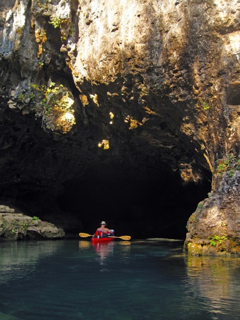
DW paddles into Cave Spring

current river, cave spring

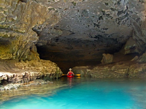
Cave Spring

Five miles upriver from Pulltite is Cave Spring. This cave is in a bluff on the river bank so you can paddle into it. The water at the back of the cave is 120 ft. deep and comes from nearby Devil’s Well. Devil’s Well is a deep, water-filled sinkhole about a mile away from the cave. It’s pretty neat as far as sinkholes go and is worth a visit if you’re in the area.
current river

current river, pulltite

Pulltite access

current river, pulltite spring

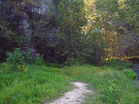
The trail to Pulltite Spring

current river, pulltite spring

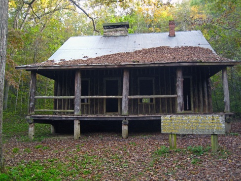
The cabin at Pulltite Spring

current river, pulltite spring

Inside the cabin

current river, pulltite spring

Pulltite Spring

Around 4:30 we finally passed Pulltite access. We stopped at the spring, which is across the river and 3/4 mile down from the access. Pulltite is one of our favorite areas on the Current. The campground isn’t very big and can get pretty crowded in the summer, but if you’re lucky enough to camp there in the off season its peaceful and picturesque. There are numerous campsites along the river and a short hiking trail goes along the stream at the back of the campground. Pulltite Spring is one of the most beautiful springs in the area. A short trail leads along the spring branch from the river. Right before the spring hole is an old cabin built in 1913 by the spring’s owners. The cabin is built in the French style with logs placed upright to avoid having to notch them. My favorite thing about the cabin is the large fireplace in the center of the room; it looks so cozy! Just up the trail from the cabin is the spring. Pulltite, like most Ozark springs, was once the site of a grist mill. The story is that Pulltite got its name because the horses had to pull tight to haul the grain up the steep mountain from the valley floor. The wagon drivers then had to brake the back wheels with a log and pull tight on the reins to keep the wagon from hurtling down the mountain. Pulltite Spring used to have 3 dams to run the mill, but they were all dismantled around the turn of the 20th century when the mill stopped production.

Pulltite Spring was our actual half way point. After we explored the spring we got back in the boats and started looking for a good gravel bar to camp. It seems that everyone floating that day was camping on the river overnight. We passed two or three good sites that were already occupied. DW and I always joke that the perfect camping spot is just around the bend from wherever we decide to stop for the night. It seems we always get on the river in the morning, paddle around the bend and there is a large gravel bar across from a towering bluff that looks much nicer than where we just came from. Since we can’t carry fire wood on a kayak a site with ample access to dead wood was a bonus. We kept paddling, looking for the perfect spot. Right around dusk we saw a spot just down from a bluff that had a large stack of dead wood from the previous occupants. We decided we weren’t going to get anything better this close to dark so we unpacked the boats and set up camp. DW got the fire started and I set up the tent. Then we got out our fancy camp chairs (legless so they take up little room and give plenty of opportunity to commune with creepy crawlers), cooked dinner on our backpacking stove and settled in for the night.
current river

The bluff upriver from camp

current river

DW paddles under a precarious tree

current river, sinking creek

Sinking Creek

current river

The night passed uneventfully and we woke up the next morning, ate cold cereal, put on our cold float clothes and packed camp back into the boats. We were on the river by 9am. It’s lucky we stopped for the night where we did because we did not see another suitable gravel bar for miles. It would have been past dark by the time we found another campsite! The first landmark we passed was Sinking Creek on the left side of the river. There is a conservation area campground here and it looks like it has been improved since the last time we were in the area. Sinking Creek is popular in the summer as it is cheaper than the state parks or national forest campgrounds along the river.
current river, hwy. 19 bridge, round spring

Hwy. 19 bridge at Round Spring

current river, round spring

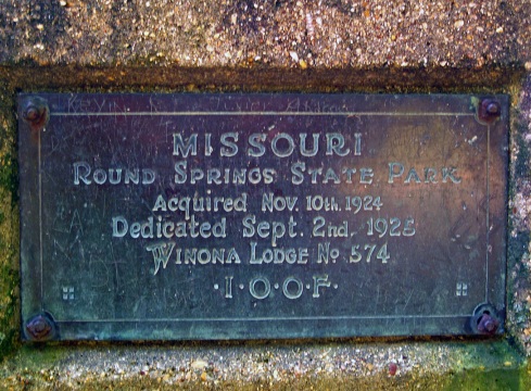
Round Spring State Park

current river, round spring

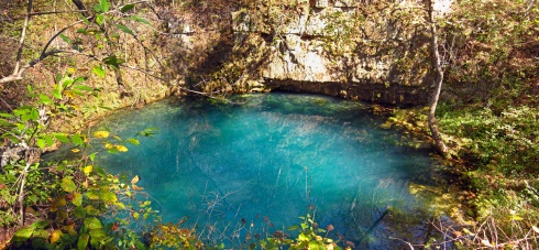
Round Spring

current river

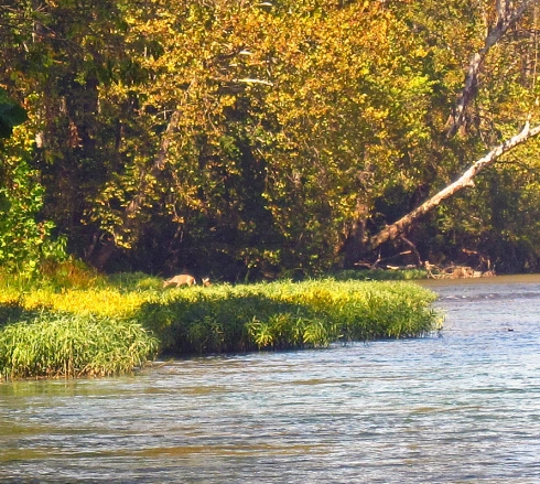
Deer graze on the river bank

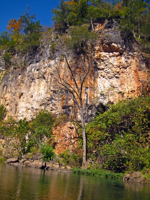
A few miles down from Sinking Creek is Round Spring. Round Spring is a nearly perfect circular depression in the hill with an average flow of 26 million gallons per day. Local legend says that an angry Indian chief stomped the ground until the hollow formed and filled with water. Round Spring was one of Missouri’s first state parks. Even though it is still referred to as a state park, round spring was incorporated into the National Park system as part of the Ozark National Scenic Riverways in the 1960s.
current river

current river

current river

current river, bald eagle

A Bald Eagle above the bluff

current river, two rivers

Two Rivers

The remainder of the day went by quickly and without much excitement. We did see a couple of deer grazing on the river bank and a bunch of bald eagles flying over the bluffs. We stopped for lunch at a random picnic table on a large gravel bar. It was an obvious fish gigging access as the table was littered with fish scales. We saw few people on the river and those we did see were all camping overnight. I guess the weekday is for overnight floaters! We reached Two Rivers, where the Jack’s Fork enters the Current, around 4pm. We unpacked the boats, loaded up and drove for about an hour to the Eleven Point to continue our next two days of floating.

Critter Count: Turtles, Blue Herons, Green Herons, Kingfishers, Ducks, 1 Hawk, 4 Bald Eagles, 2 Deer, 1 River Otter with Crawdad Lunch Special