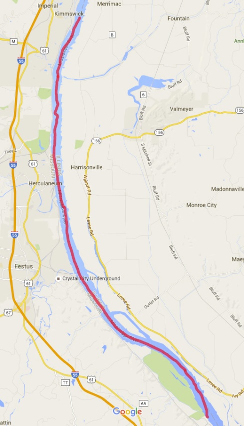
Ste. Genevieve to Chester
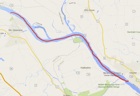
Mississippi River
Ste. Genevieve County, Missouri and Randolph County, Illinois
Saturday, August 29
14 Miles
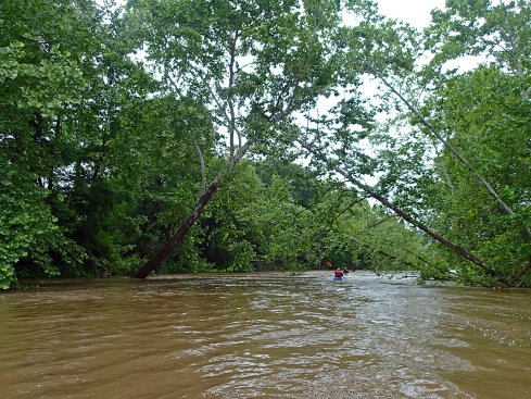
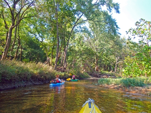
It’s been about two months since DW and I have paddled any new stretches of river, and thus two months since my last post. This year I decided that I would stop blogging floats that we do on a regular basis, just so things don’t get repetitive. Since my last post in June we’ve done a couple floats on the Eleven Point, some stuff on the Meramec and a whole week of floats for our National Speleological Society convention, but all of them were sections of rivers that I had posted previously. During the NSS convention DW, Jake and I led seven float trips in six days. We brought all of our canoes and kayaks and borrowed a few from DW’s dad. Every day we for a week we took 15 – 30 of our fellow cavers on a float trip, some of whom had never floated before and many who had never been to Missouri. DW and I learned a lot about what it takes to be a river guide (we even got to use our throw ropes for a couple of rescues) while having a lot of fun and making new friends in the process.
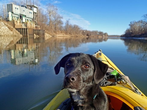
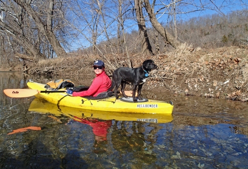
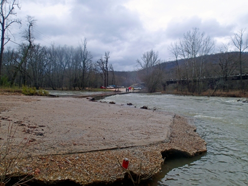
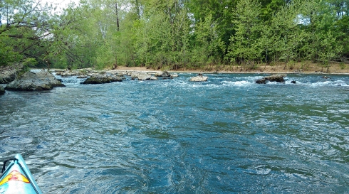
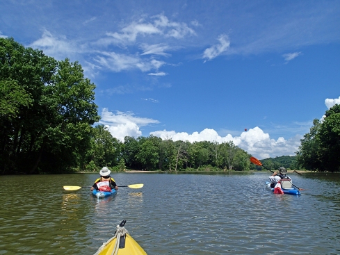
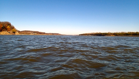
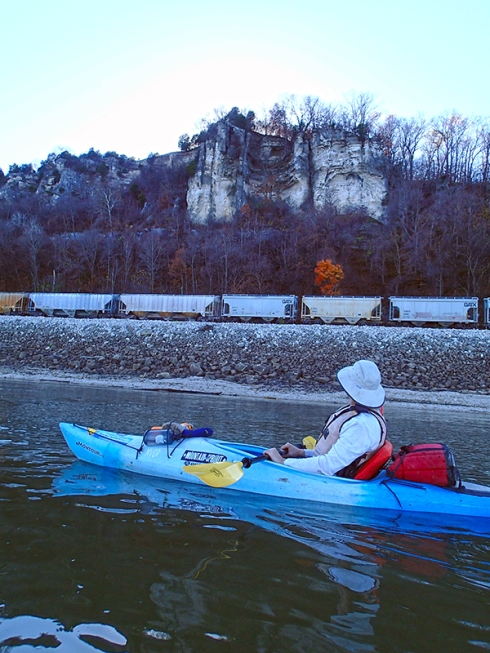
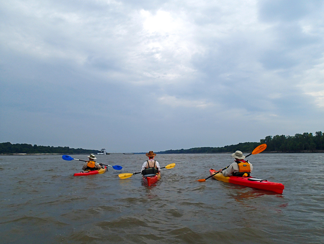
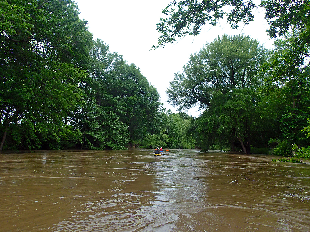
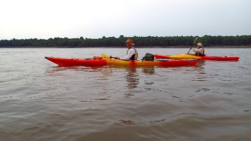
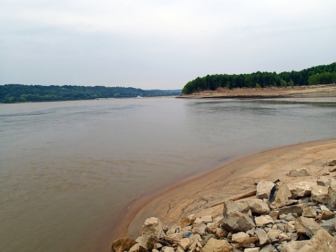
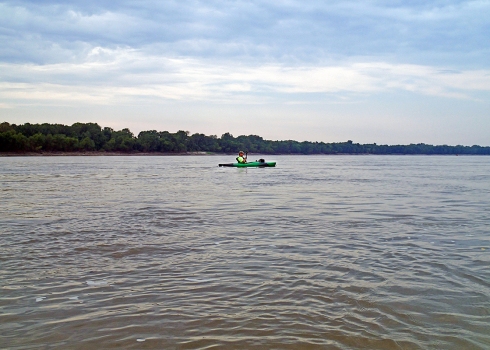
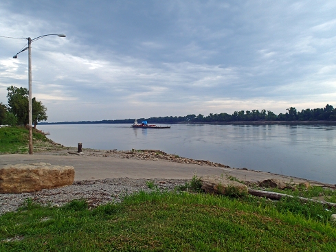
This particular weekend DW and I took his dad, Dan on a birthday float trip on the Mississippi. We were joined by a few of DW and Dan’s old caving friends who live in southern MO & IL. Last year we took Dan on his first Mississippi trip and he liked it so much he wanted to do it again this year. Since we did the section from Rush Island down to Ste. Genevieve previously, we decided to put in at Ste. Genevieve and float down to the next access at Chester, IL. We met up at the Ste. Genevieve/Modoc ferry access at 10am to unload our gear. DW’s mom, Rosie was kind enough to pick us up in Chester so we did not have to run shuttle. The day was overcast, but not rainy and the weather was warm, but not overly hot. There was a slight wind of about 10mph that kicked up a few small ripples on the river. All in all it was a very pleasant day on the big Mississippi.
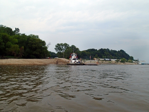
The ferry boat at Ste. Genevieve
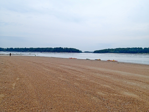
Exploring the sandbar across from the former Ste. Genevieve Marina
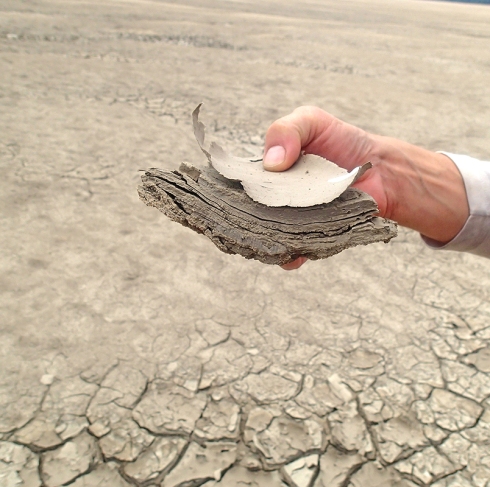
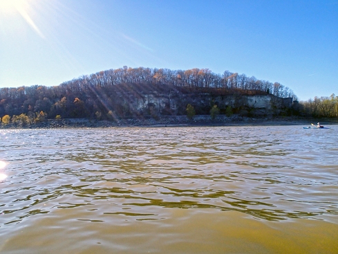
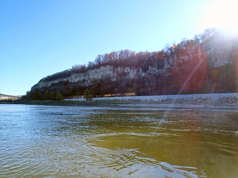
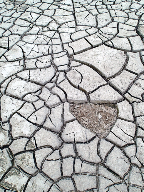
Sediment layers

A peaceful campsite
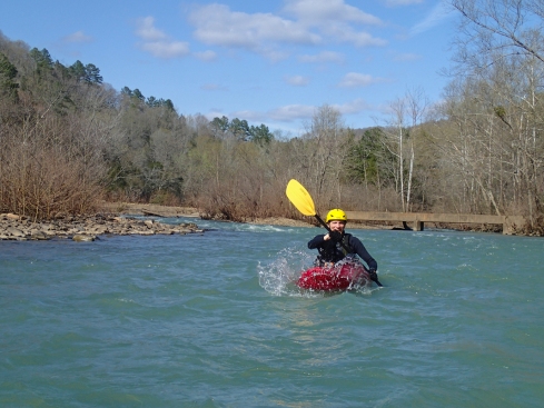
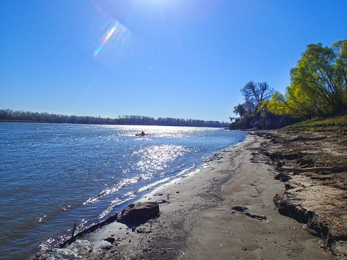
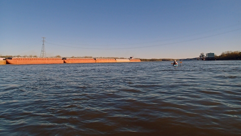
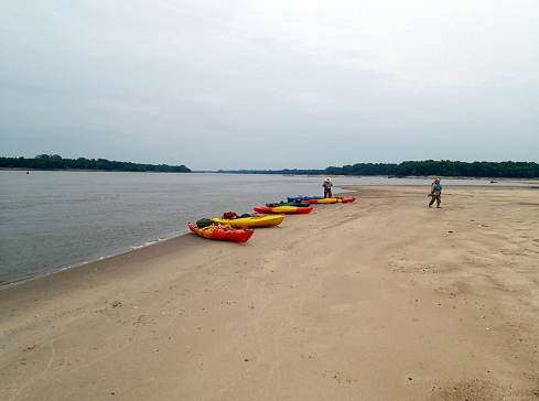
Our first stop was a very large sandbar on the Illinois side, across from the former Ste. Genevieve marina. This sandbar is popular with motorboats and can be full of people on a nice day, but we were the only ones there at the time. We walked around for a while, looking for stuff that washed up, but we didn’t find anything of interest here. However, there is a beautiful camp spot in the cottonwoods that has a great view of the river. It was so peaceful with the wind whispering through the trees that I could have sat down and taken a nap right there. After we finished exploring we hopped back in our boats and saw our first barge traffic of the day as well as a coast guard tug boat doing buoy maintenance. DW took this opportunity to play in the barge waves in the 17′ long kayak.

Exploring the sandbar across from the Kaskaskia River confluence
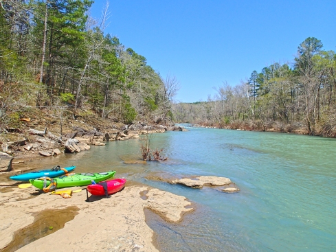
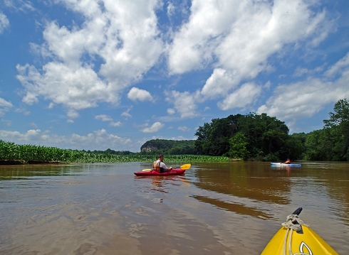
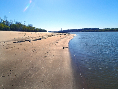
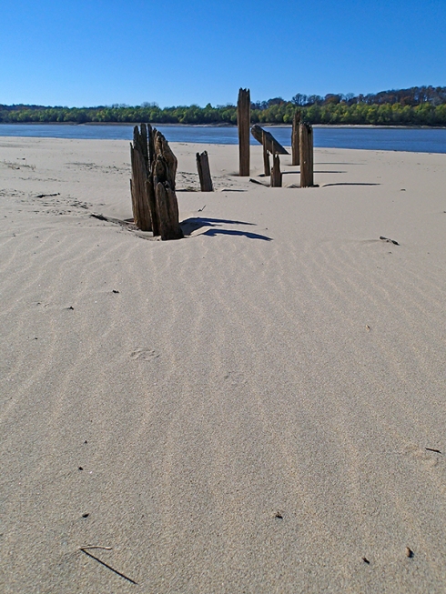
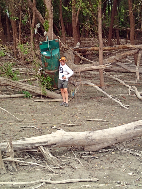
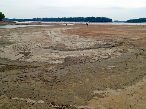 A few miles later we stopped at another sandbar to explore. This sandbar is near Kaskaskia, IL across from the Kaskasia River confluence. For those that don’t know, Kaskaskia is on the Missouri side of the river, but it is in the state of Illinois. This is because the Mississippi River shifted east during a flood in the 1880s, but the state boundary remained at the old river channel. This sandbar is a good place to look for interesting rocks and old glass and ceramic. We found a lot of pretty pieces of colored glass and rocks. DW and I stomped around in the woods on the sandbar and found a buoy that had washed into the trees and became entangled. There was also a fairly new outhouse that had been washed up and buried deep in the sand. After exploring we ate our lunch of Oberle’s sandwiches (if you are ever in Ste. Genevieve you have to visit Oberle Meat Market, it’s the best) and relaxed while looking out over the river.
A stranded buoy
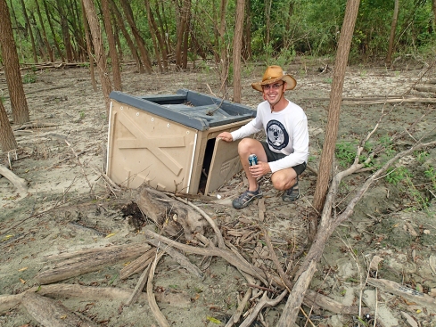
A buried outhouse
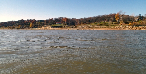
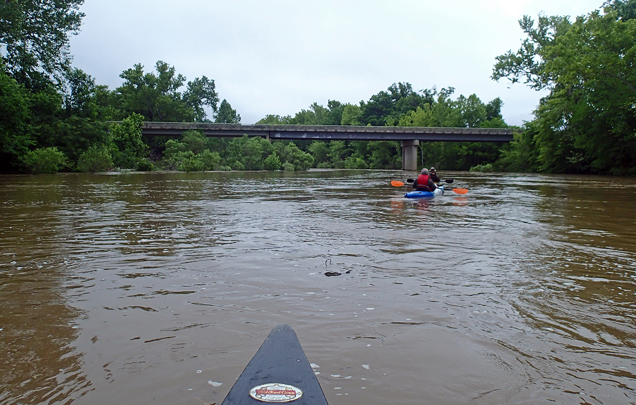
Kaskaskia is about halfway into our trip, but as we rounded the next bend we could already see the bridge at Chester in the distance. It took almost two hours to reach it, though we didn’t paddle much. Before Chester there is a penitentiary on the Illinois side, which is very obvious with all the big lights and fences. So, that’s probably not a good place to pull over and hang out! It seems strange to have a penitentiary right next to a major river and railroad.

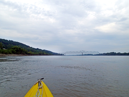
A glimpse of the Chester bridge
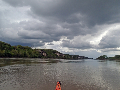
The day continued to be cloudy as we finished our trip, which made for some nice skies, but rather dull photos. The boat ramp at Chester has a little bit of current, but as long as you don’t come in too fast and dock your boat from the side instead of the nose, you’ll be fine. Rosie was waiting for us when we arrived, so we loaded the boats into her truck and made the drive back to Ste. Genevieve for a delicious BBQ dinner.
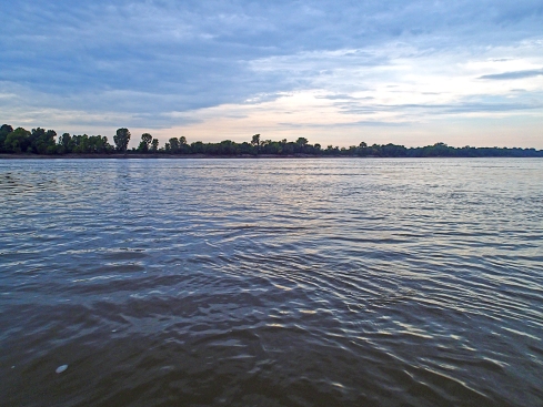
Late afternoon on the river
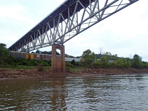
Under the Chester bridge
The boat ramp at Chester
I think this stretch of river was a good float, but not as pretty as the stretch we did from Rush Island to Ste. Genevieve. The sandbar at Kaskaskia was definitely worth a stop though. We enjoyed this float and plan to do the next section down from here next time we’re in the area.
Tags: Chester, float trip, Kayaking, Mississippi River, missouri, Ste. Genevieve